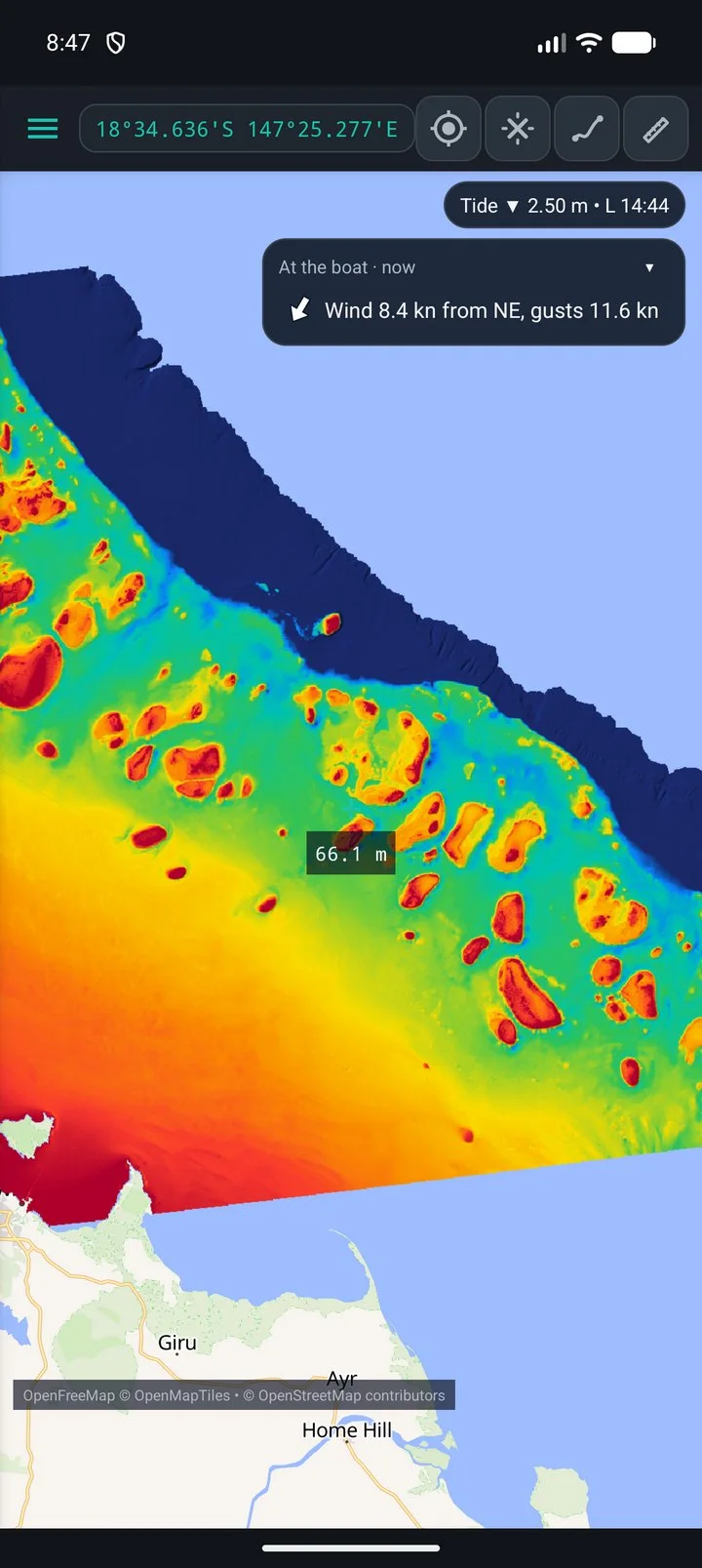
Android
SeaBathy
The seabed in your pocket. Open any GeoTIFF or MBTiles in 2D and 3D, with offline maps, tides, sea conditions, routes and an anchor alarm.
Free & open source · Australian waters
Open any bathymetry you have, any GeoTIFF or MBTiles at any resolution, and fly over it in 3D. Plus offline maps, tides and charts for your plotter. No account, no subscription.
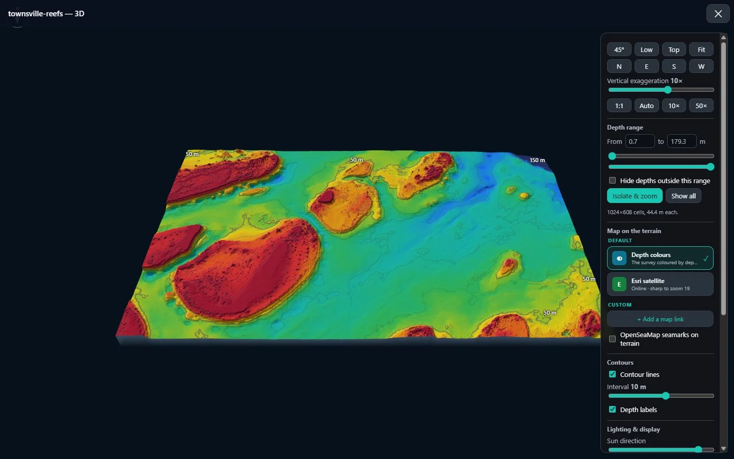
Seabed: IMAS bathymetry composite (CC BY 4.0), resampled. Live 3D, drag to turn.
Four apps · one toolkit
Android
The seabed in your pocket. Open any GeoTIFF or MBTiles in 2D and 3D, with offline maps, tides, sea conditions, routes and an anchor alarm.
Windows
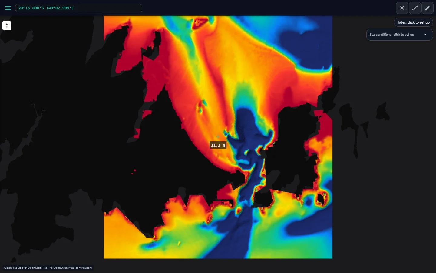
Plan on the big screen. The same maps and 3D for your own GeoTIFF and MBTiles files, sharp to every pixel of the data.
Features
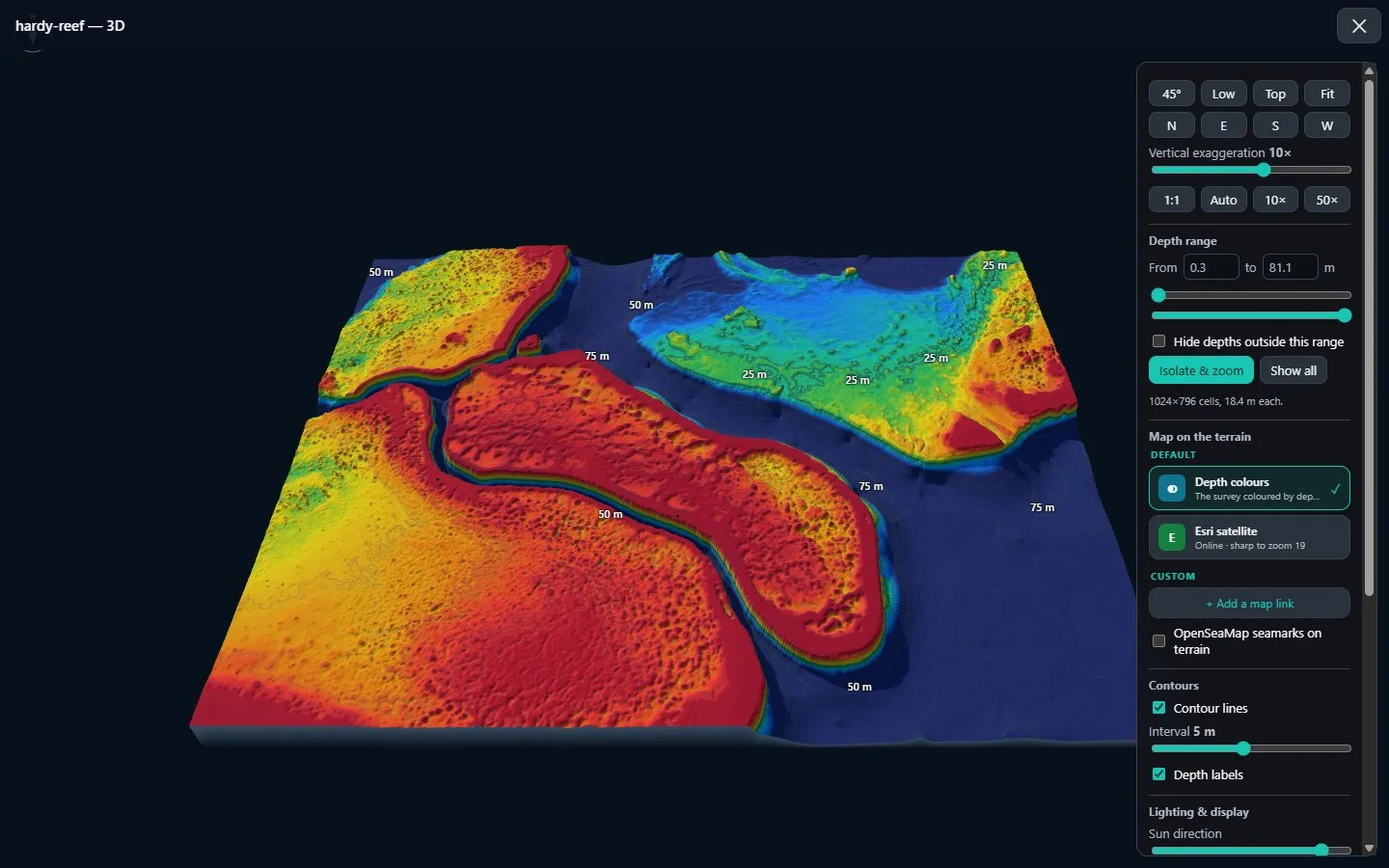
3D seabed
Fly over any depth file in 3D, stretch the relief up to 100×, add contours and drape maps over it.
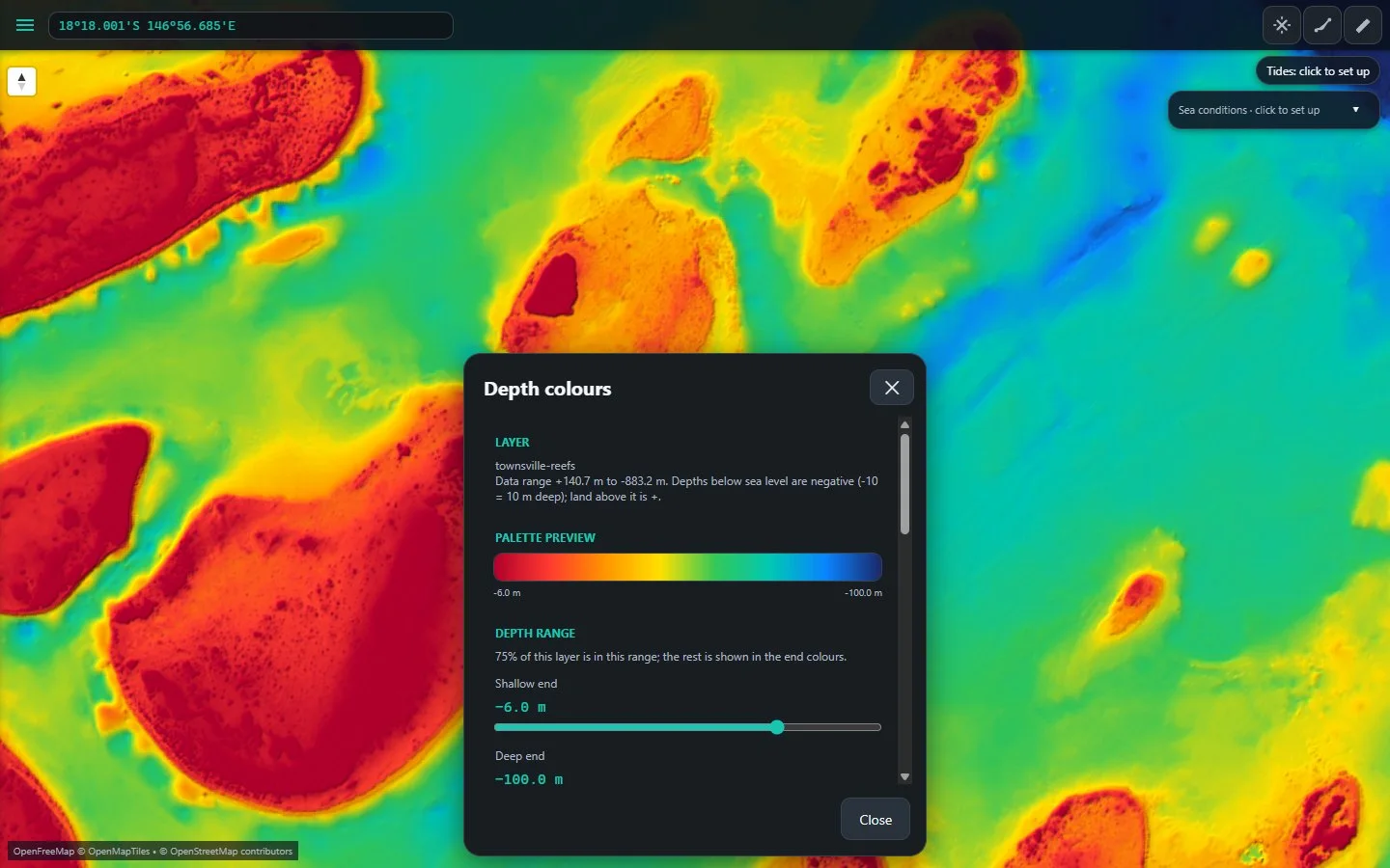
Depth colours
Palettes, relief shading and a depth range you set, so the structure you care about stands out.
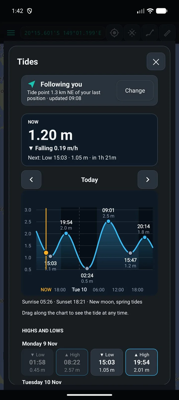
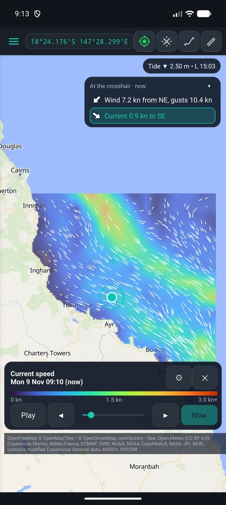
Tides · conditions · offline
Save maps, tides, wind, swell, currents and sea temperature before you leave the ramp.
Plan
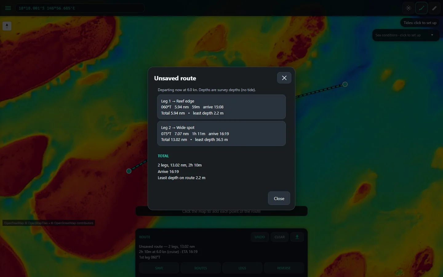
Waypoints and routes with the survey depth checked along every leg. GPX in and out.
Chartplotter
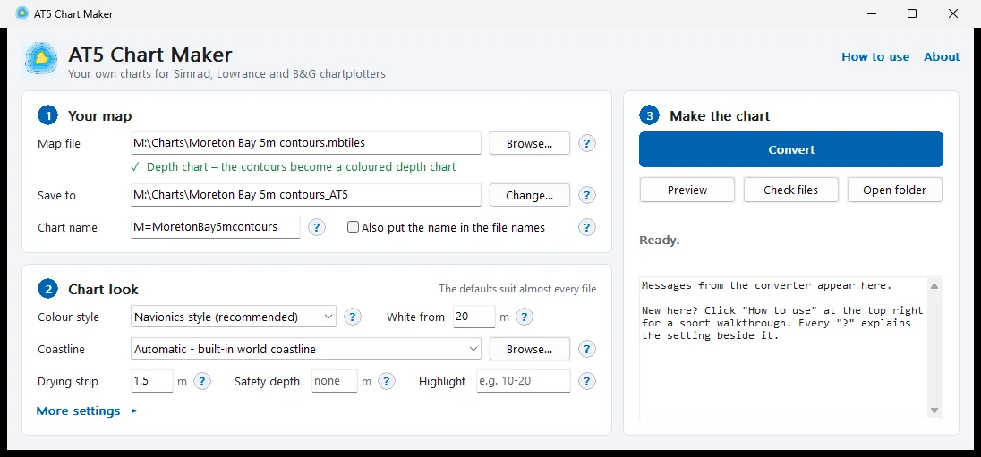
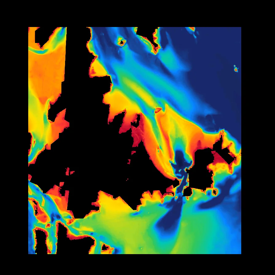
Turn depth contours or coloured bathymetry into charts for Simrad, Lowrance and B&G units.
How it works
Any GeoTIFF or MBTiles you have, or draw a box in BathyPicker for free survey data.
Open it in SeaBathy on your phone or PC. Fly over it in 3D and drop marks.
Everything works offline on the phone, or goes onto your plotter with AT5 Chart Maker.
Your data · open data
Free for everyone. Open source under the MIT licence.